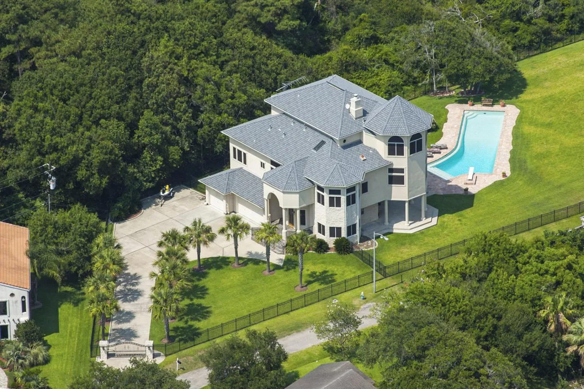
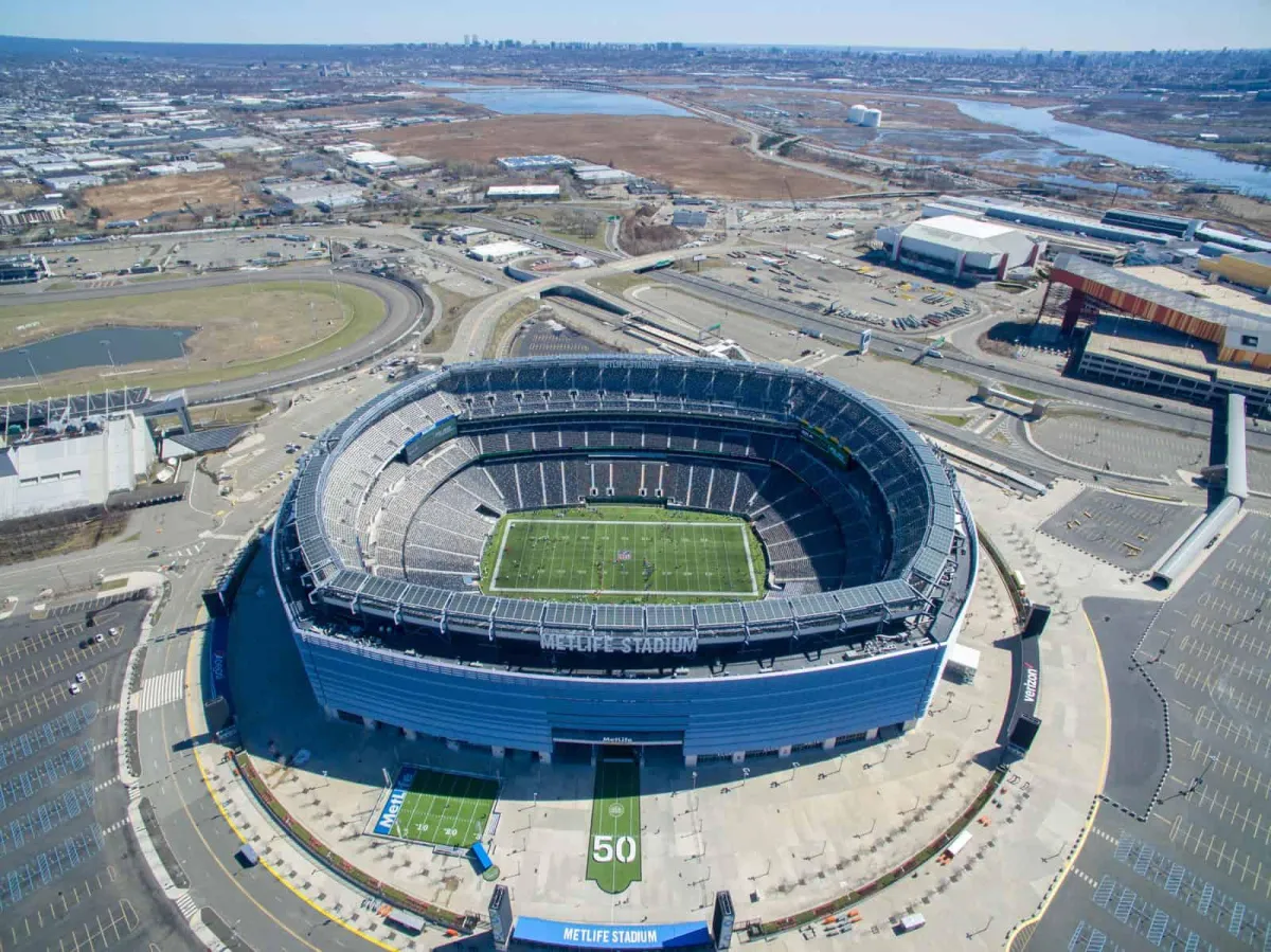
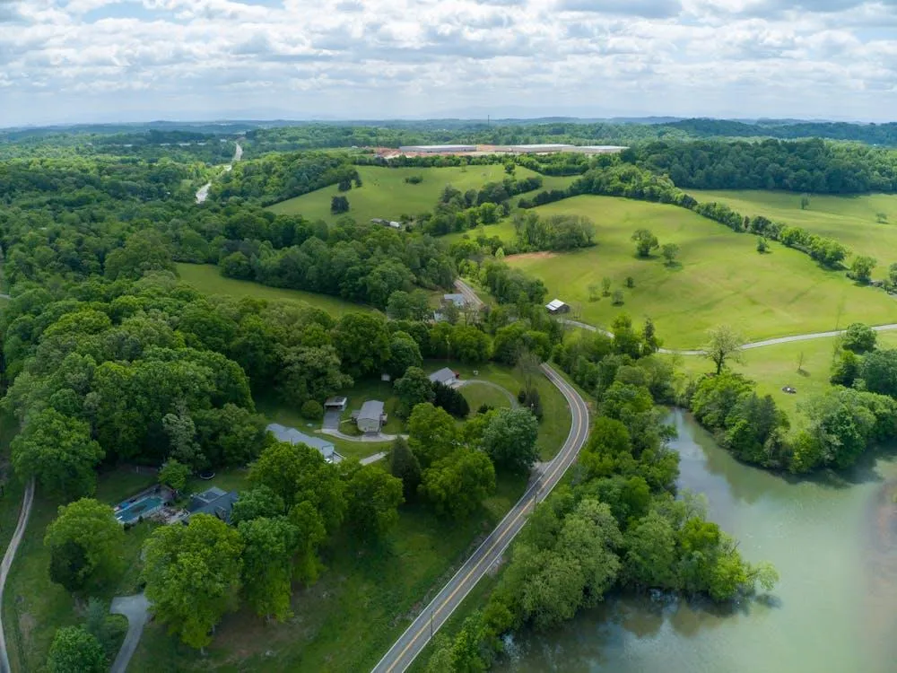
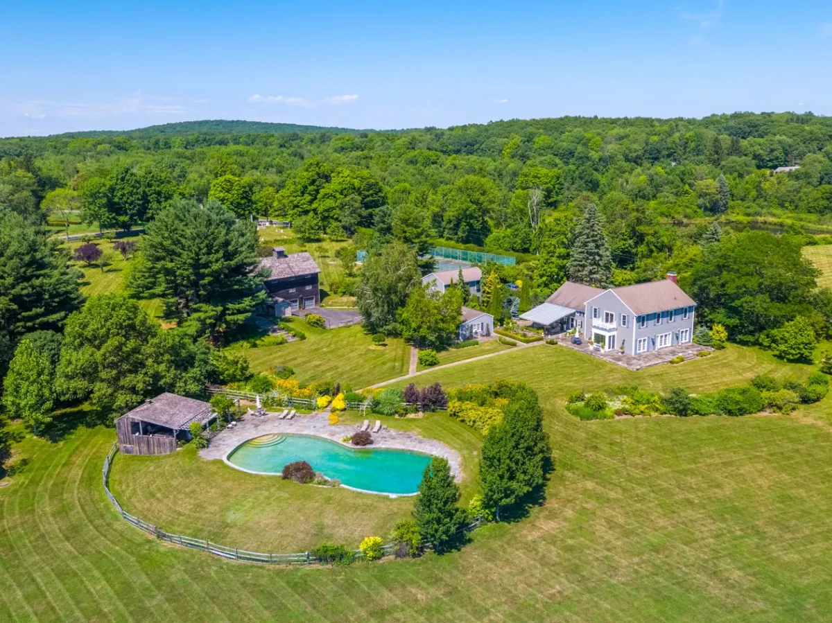
Aerial Business Solutions in Surveying/Mapping, Inspections, and Progress Tracking.

From progress tracking and reports, to precise measurments and TOPO maps,

AirScape provides you the tools you need at every stage of your business.

Airscape Surveying and Mapping

AirScape Surveying and Mapping is your one stop shop for all your surveying and mapping needs whether that is in construction, agriculture, or critical infrastructure.

explore!

You Will Love It

Drone services new york Provides services and rentals for aerial drone cinematography, aerial drone video production and aerial drone photography in NYC, Manhattan, new york city, brooklyn.

Image

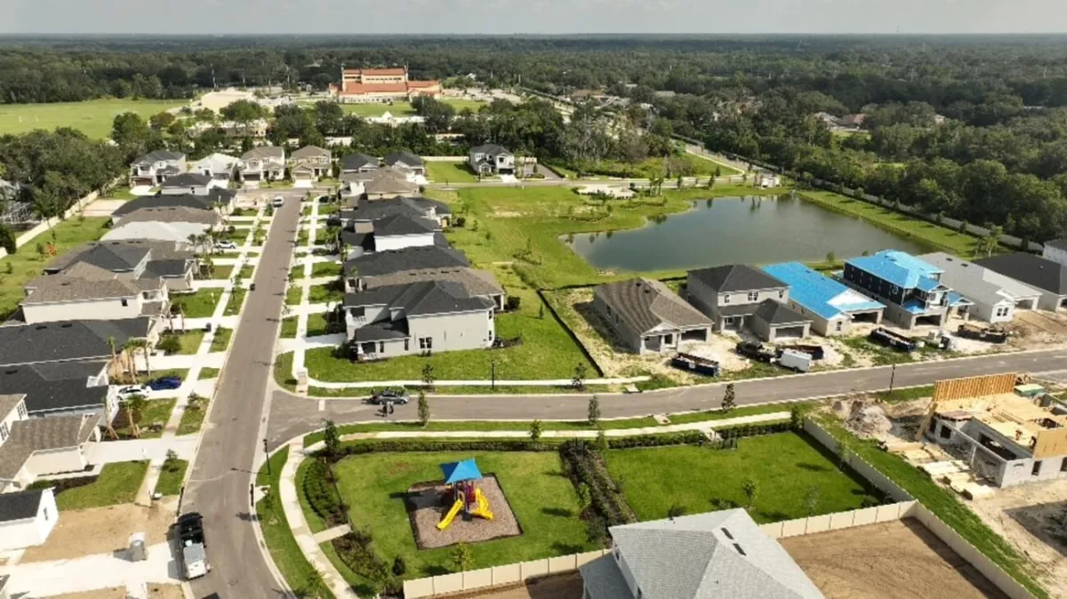
2D and 3D Interactive Mapping

Create accurate and interactive maps for various applications, including urban planning, environmental monitoring, and site analysis. Our mapping services offer a new dimension of detail and precision.

Image

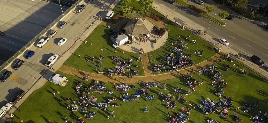
Quantity Surveying

Obtain accurate measurements for your projects with our advanced drone technology. From volume calculations to distance measurements, we provide reliable data you can trust.

Image

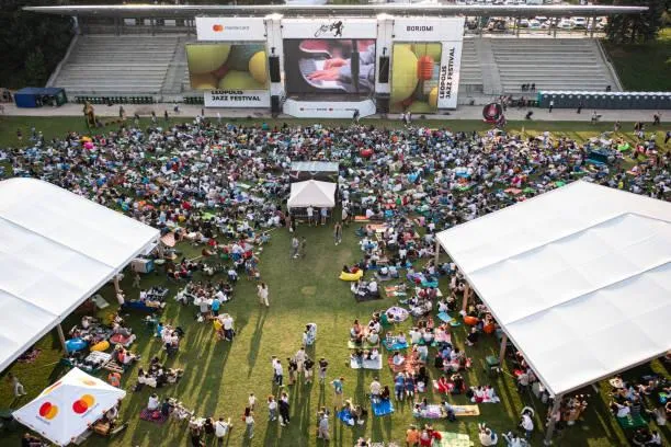
Infrastructure Inspections

Conduct thorough and safe inspections of infrastructure, rooftops, agricultural land, and more. Our aerial surveys provide detailed insights that help you make informed decisions.

Image

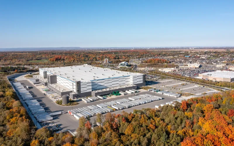
Progress Tracking

Use high-quality aerial videos to convey the progress of a construction site throughout the company.

2D/3D Mapping Framework

Streamlined Steps for Accurate and Detailed 2D/3D Mapping

.01

Flight Planning

Create Optimal Flight Path

We begin by assessing your project needs and then inputting the required parameters into our advanced system. This allows us to optimize the flight route for maximum efficiency and accuracy, ensuring precise data collection and high-quality mapping results every time.

.02

2D/3D Model Configuration

Transform Data into 2D/3D Models

Using hundreds of pictures taken on the flight path, we convert this information into detailed 3D models. These models provide comprehensive three-dimensional representations of your project site, where you can measure any aspect of your site down to the nearest .01".

.03

Delivery

Receive Your 3D Worksite Map

Once the 3D models are created, we deliver them to you through our secure online portal. These detailed, high-resolution models provide comprehensive three-dimensional representations of your site. Our efficient delivery process ensures you have quick access to the accurate, high-quality visualizations you need for effective site analysis and planning.

how it's work

You Will Love It

.01

Data Upload

Drag and Drop Your Data

Easily upload your project data into our secure portal with a simple drag-and-drop interface. This step ensures a seamless start to your mapping project.

.02

Parameter Configuration

Set the Parameters

Define the specific parameters for your mapping project, including areas of interest, resolution requirements, and other critical details. This customization ensures we meet your unique needs.

.03

Georeferencing

Align with Real-World Coordinates

Our team completes the georeferencing process, aligning your data accurately with real-world coordinates. This step is crucial for ensuring spatial accuracy in your maps and models.

.04

3D Model Creation

Transform Data into 3D Models

Using advanced processing techniques, we convert your raw data into detailed 3D models. These models provide comprehensive three-dimensional representations of your project site.

.05

Initial Data Validation

Ensure Data Quality

We perform an initial data validation to check for accuracy and completeness. This step guarantees that the data we use to create your maps and models is of the highest quality.

.06

Orthophoto Generation

Create High-Resolution Images

We generate an orthophoto of your site, producing a high-resolution, geometrically corrected image that offers an accurate top-down view. This orthophoto is essential for detailed analysis and planning.

.07

Final Accuracy Check

Verify Precision and Accuracy

A final accuracy check is conducted to ensure all data and models meet our stringent quality standards. This step confirms that the deliverables are precise and reliable.

.08

Delivery

Receive Your 3D Worksite Map

We generate an orthophoto of your site, producing a high-resolution, geometrically corrected image that offers an accurate top-down view. This orthophoto is essential for detailed analysis and planning.

Image

John D.

Construction Manager

Working with [Your Company Name] was a game-changer for our construction project. Their aerial surveys provided the precise data we needed.

Image

John D.

Construction Manager

Working with [Your Company Name] was a game-changer for our construction project. Their aerial surveys provided the precise data we needed.

Image

Sarah L.

Film Director

Their team captured incredible footage for our film. The aerial shots added a whole new level of production value.

Image

Sarah L.

Film Director

Their team captured incredible footage for our film. The aerial shots added a whole new level of production value.

Frequently Asked Questions

Answers to Your Most Common Questions About Our Aerial Mapping Services

What types of mapping services do you offer?

We offer a range of mapping services including 2D and 3D interactive mapping, topographic surveys, volumetric measurements, and detailed site analysis. Our advanced drone technology ensures precise and accurate data for various applications.

How accurate are your aerial maps and measurements?

Our aerial maps and measurements are highly accurate, about to the .01";thanks to our state-of-the-art drones and advanced processing software. We adhere to industry standards and best practices to ensure the highest level of precision and reliability in our data.

What industries can benefit from your mapping services?

Our mapping services benefit a wide range of industries including urban planning, construction, agriculture, environmental monitoring, any infrastructure, mining, and real estate. Our versatile solutions are tailored to meet the specific needs of each industry.

Do you provide customized mapping solutions?

Yes, we provide customized mapping solutions tailored to meet your specific project requirements. Our team works closely with you to understand your needs and develop a personalized plan that delivers the desired results.

How do you ensure the safety and compliance of your drone operations?

Safety and compliance are our top priorities. We adhere to all regulatory requirements and industry best practices. Our certified drone pilots are trained to operate safely and efficiently, ensuring the safety of our team, your site, and the surrounding environment.

What is the process for starting a mapping project with your company?

The process begins with a consultation to understand your project requirements. We then conduct a site assessment, followed by aerial data collection, data processing and analysis, and finally, delivery of the final results. We offer ongoing support and services as needed.

Can you integrate your mapping data with other software or systems?

Yes, our mapping data can be integrated with various software and systems commonly used in different industries. We ensure compatibility with GIS platforms, CAD software, and other analytical tools to maximize the utility of the data we provide.

How do I get a quote for a mapping project?

To get a quote, simply contact us through our website's contact form, email, or phone. Provide us with details about your project, and our team will get back to you with a customized quote based on your specific requirements.

Copyright © airscape

Terms and Conditions

Privacy Policy

Terms and Conditions

Privacy Policy

Copyright © Drone Team